Thursday, May 26, 2011

Fairview, Oklahoma Tornado

Sorry for the delay in posting the visual results of the chase on the 2 4th in Oklahoma. Yesterday was spent mostly sleeping and recovering from the chase. As I'd stated in an earlier post, I hadn't felt well and did not sleep well the nights leading up to the chase and doing a one day marathon chase with minimum sleep... well, turns out my body couldn't resist sleep anymore after that one.

Myself, Colin Davis, Scott Kampas, and Heather Brinkmann had a chase day that was hard to complain about on Tuesday. Despite the bad wrap that they receive from storm chasers due to their frustrating nature (which I agree with) I'm now 3 for my last 3 on seeing good tornadoes on High Risk days. We did see the Canton wedge from a rain wrapped distance where we were only able to see the right side of 'something big'. We originally though perhaps we were seeing the wall cloud, and it wasn't until the reports of a large tornado began coming in that we figured out that this was no wall cloud that we were seeing. While the storm was ingesting a lot of rain from the southern storms, we had originally decided to hang back and let it organize but at this point realized that we needed to go in closer.

We were almost immediately greeted by a classic wall cloud that had that imminent tornado appearance. Almost perfectly timed, we found a nice secluded spot to pull off as a funnel cloud began to descend. The tornado ended up being on the ground for several minutes and was probably as graceful as they come. Just a skinny rope doing no apparent damage slowly snaking its way across the fields. No other chasers were in the immediate area giving the illusion that we were all alone out there. A lone tornado siren could be heard wailing in the distance embedded in the howling inflow. As quickly as it set down, the tornado roped out in beautiful fashion twisting around itself in large looping kinks.

Video captures, video at the bottom of the page.


This supercell finally met its demise at the hands of the supercells to our south. We began plotting our course for intercepting the storms to our south, realizing it would take us over an hour, and that the storms could have congealed into a line by that time thus ending the tornado potential. That said, it was only 3 PM or so. We had plenty of daylight to work with, and were already 10 hours away from home.

After several storms broke out hearts by congealing and gusting out, we finally got a break. Even if that break was the final one minute of the Norman, OK area tornado, it was enough. We intercepted one other supercell near Shawnee, but it wouldn't produce for us despite several areas of broad rotation.

Video capture of the last moments of the Norman, OK area tornado.


Blah blah, long drive home, blah blah I guess I need to whine about not seeing a tornado more often. Definitely want to thank my friends for getting me out there. This was exactly what I needed.

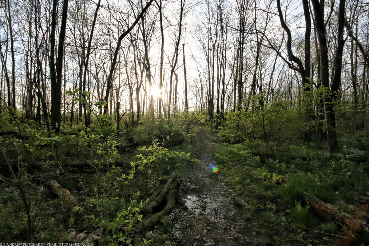
This probably was not the intercept for shooting super wide angle images on, but here it is no less.


Tuesday, May 24, 2011

Have observed a beautiful rope tornado near the town of Fairview, Oklahoma. Kind of screwed right now though as storm of the day at the moment is a good 60 miles to our south, and not at all easily approachable.

Sunrise on another potentially devastating severe weather day. General consensus in the vehicle is a targer very near Enid, Oklahoma.
Published with Blogger-droid v1.6.8

Another unexpected chase

I have some outstanding friends, and will be chasing what looks like a potentially devastating severe weather day in the central plains tomorrow. Just left DeKalb with Heather Brinkmann and will be meeting up with Scott Kampas and Colin Davis in Galesburg at 3 AM and hitting the road for the dryline near the Kansas and Oklahoma borders. I plan to fulfill my constant promise and update the blog frequently via mobile as I'm doing right now. Check back often for mobile photo uploads and updates.

I know I don't have a major audience, but to any non-chasers (though the same applies to chasers), be safe tomorrow.
Published with Blogger-droid v1.6.8

Monday, May 23, 2011

Streak over

I began editing a couple photos from yesterday's chase in eastern Iowa and northern Illinois, but quit because I realized they were all pretty sad. Then, I began compiling a short video of the hail and downbursts we intercepted near the Quad Cities but then quickly exited the program without saving. Such is my 2011 storm observing season.

It was easy for me to feel down when going to bed last night. If any day was going to net me a tornado, it would be May 22nd. I had literally never not seen a tornado when I chased on this exact date. I went to lie down in bed exhausted, a little more broke, and already in mid May, convinced I won't see a tornado this spring. Then I watched this video from Joplin, Missouri that was filmed while I was feeling bad for myself watching garbage storms further north.


That video is absolutely horrific. I haven't been able to sleep for the last two days for reasons beyond me, and exhausted as I was hitting the bed last night I still couldn't sleep for the early morning hours after watching that video. The 2011 severe weather season has been an incredible eye opener to the destruction that is possible when the powerful storms myself and others enjoy observing in the spring and summer interact with dense population regions. I have yet to witness a killer tornado, and hope to remain that way. Several of the tornadoes I have seen over the last few years certainly had the potential to be accompanied by fatalities, but they all managed to avoid dense population centers thankfully.

It's easy to feel down on yourself when you envision something panning out a certain way, sink a large sum of money and energy into it only to have things come up short. However, when that ultimate goal is to witness the weather in one of its most destructive and potentially fatal forms it really becomes hard to be upset. While I may have spent a handful of dollar bills yesterday and come away with little in the way of pretty pictures or video, that very fact may be the reason that no one died in my home state yesterday as a result of the weather. Not the direct fact that Andrew Pritchard did not capture any powerful photos, but at the very moment I find my adrenaline pumping as I film a powerful tornado producing supercell, lives are being threatened.

I'm not sure how much I will be out over the next week. I have invitations to chase Oklahoma tomorrow, but may turn them down as I honestly need to focus on building up my budget before I don't have money to do squat in July. There is also a tornado threat in the backyard on Wednesday, but that's highly conditional.

Sunday, May 22, 2011

4 of 5?

Throwing a stat out there that will likely jinx the day, but I have at this point, seen a tornado 100% of the time that I have chased on May 22nd. That being three of the last four years, in 2007, 08, and 10. 2009 there simply were no storms, and I was at a friend's wedding. Well here we stand, May 22nd 2011, and there is a moderate risk over the home turf.

Currently doing my morning analysis and can already see two obvious areas. The first being right around the Quad Cities, maybe the Quad Cities toward Rockford, IL. The other is further south near a remnant outflow boundary from say, Macomb to Peoria, IL. One target is under an hour drive from here, the other, maybe two hours. Hard to complain about either of those. But then you face the dilemma; do I go for the further target that looks slightly better and then risk having something go nuts right over your home area (DeKalb being 20 minutes from Rockford)? The perils of chasing.

There is a pretty obvious boundary along Interstate 72 from the Mississippi River toward Springfield. Surface winds are backing strongly along this boundary, which should slowly lift northward through the day. Cloud streets can already be seen on visible satellite imagery. Really hard to ignore that sharp boundary down there. Let's just say, there will be at least one tornado producer between Interstate 72 and the Wisconsin border across the northern half of Illinois, and I need to pick the correct one. Will try to update from the field.

Wednesday, May 18, 2011

Much needed update

Well, I'm still here. I want to apologize for this place being so dead lately. I haven't been out on the hunt for storms much at all this year, and haven't really been out doing my usual photo explorations either. I'm hoping to change both of those soon, but in the mean time I wanted to post a few photos that I've been sitting on over the last month or so.

Most recently, I snagged this shot in heading back down to Champaign on Friday evening. That upper level low that was sitting over the area sparked off a few thunderstorms over the state. As the sun began sagging down toward the horizon, numerous rainbows appeared underneath the elevated showers and thunderstorms. I finally decided to get off of the interstate and grab a photo of one such rainbow over a flower filled field.


Even though the weather has largely sucked in northern Illinois this spring, I did manage to sneak away to my favorite DeKalb area location, Lake Shabonna. I won't go into a lot of detail on these either largely because so much time has gone by since I composed the images that the moment has passed. Instead I'll let the photos talk.


I'm in the Champaign area for the summer, and with warmer weather I am hoping to do some more outdoorsy stuff and will hopefully be updating the blog much more frequently. I hadn't planned on being dormant for so long, but crappy weather and some personal issues combined to create a perfect storm of no blog updates. Stay tuned, the tide is turning.