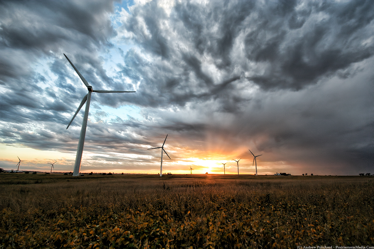
Been a little bit since I posted an updated unrelated to the DVD (which btw, still up for $15 or -ideally- a trade of some kind). It's been a fairly busy fall, but I'm loving it. Just really soaking up the cool evenings, bright blue skies and having a ton on my plate. It helps when the plate helpings are extremely enjoyable. The biggest of which, is that I'm spending the fall interning at the NIU weather office under Gilbert Sebenste. At the moment my duties will mostly include handling the weekend forecast discussions, but have been given special permission by Gilbert to dabble in severe weather statements if I find the need. I figured being a slow period weather-wise and with little to share with my four lovely readers I would just post one of my first ever "official" public forecasts.
FORECAST FOR DEKALB AND VICINITY, 9/5/10, 2 AM
Today...partly cloudy skies with continued pleasant
temperatures. High of 73 degrees. South winds
at 5-10 mph.
Tonight...partly cloudy skies. Low of 57 degrees.
South winds 5-10 mph.
Tomorrow, Labor Day...partly cloudy skies with
a slight chance of an isolated shower.
High of 81 degrees. South winds 10-15 mph.
Extended outlook...Tuesday through Saturday...
Tuesday...mostly cloudy skies with a chance of
a rain shower before noon. Skies clearing toward evening.
Turning breezy and cooler. Low in the lower 60s. High in the lower 70s.
Wednesday...mostly sunny skies and pleasant temperatures.
Low in the upper 40s. High around 70.
Thursday...partly cloudy skies with scattered showers.
Low in the middle 50s. High in the middle 70s.
Friday...partly cloudy skies with scattered thunderstorms.
Low in the upper 50s. High around 80.
Saturday...mostly cloudy skies with scattered thunderstorms.
Low in the upper 60s. High in the upper 70s.
******************************
**********************************************
CLIMATE DATA: Yesterday's high, 66 degrees; last night's low, currently at
50 degrees and likely to fall another degree or two. Forecast was for
66/48. Beginners luck? Another 2 degree drop before sunrise would be a
pleasant start to my NIU forecast career with a perfect 66/48
verification.
We have had .99" of liquid equivalent this month. On average, we should
see 3.47" of liquid equivalent by September 30. We have had 31.77" of
liquid equivalent so far this year. By September 30, our average annual
liquid total should be 29.80".
****************************************************************************
SEVERE/HAZARDOUS WEATHER OUTLOOK: None through Sunday. There is an
outside chance at widely scattered showers on Monday afternoon
but any major precipitation threat is negligible.
***************************************************************************
PRECIPITATION: Sunday night into Monday: .01"-.10", and 20% coverage.
****************************************************************************
FORECAST DISCUSSION: Another pleasant fall day is in the books! The
forecast was right on track with high temperatures topping out in the
middle 60s across the region this Saturday afternoon. Slightly warmer, but
equally pleasant weather can be expected for your Sunday. Excluding a shot
at a stray rain shower your Labor Day plans should go off without
a hitch as well. Temperatures will turn warmer yet on Monday afternoon
but overall low humidity levels will keep things very pleasant and
conducive to whatever outdoor plans you may have. Another blast
of cool weather is on tap mid-week with another round
of stormy weather on it's heels before the weekend arrives.
At the surface, high pressure continues to dominate the nation's
mid-section. The surface cold front continues it's push to the south and
has almost claimed the entire southeast. Isolated thunderstorms will
be possible across central Florida where the heat and moisture
scouring cold has yet to invade. The better part of the continental
United States will continue to enjoy high pressure and pleasant fall
weather on Sunday afternoon. The only other precipitation trouble spot
will be found over the northern plains states across Montana
into the western Dakotas in association with a shortwave
ejecting out from the inter-mountain west. Widespread severe weather
is not expected in that area, though some isolated wind reports are
certainly possible during the peak heating hours in the afternoon.
As this system ejects into the central plains and eventually the mid-west
we will see a return flow from the south and increased warm air
advection which will usher in warmer temperatures across the central part
of the country, northern Illinois included. This will in turn lead to
a gradual increase in cloudiness on Monday afternoon and a shot at isolated
rain showers across the area. However, lack of any real moisture for this
system to work with should keep us mostly dry. Any showers that do affect
the area should be fairly brief and light in nature. Further west, a better
chance for heavier showers and perhaps a few thunderstorms will exist across
portions of Iowa and northern Missouri during the Labor Day afternoon.
Even in this greater threat area, high pressure's dominance until <24 href="mailto:apritchard@niu.edu" target="_blank">apritchard@niu.edu
Not overly exciting, but there it is. I've always been gungho about getting into severe storms research, and stated that I never really wanted to do operational forecasting but Tia has pointed out in doing this and in preparation for a storm chase or severe weather event somewhere, that there is really nothing that I love more than spending a couple hours analyzing copious amounts of data, solving the puzzle, and then writing it all out in words on this blog. Then, two hours later I feel the urge to come back and stare at the exact same data knowing of course that no new information has come in - but just in case! This first weekend of forecasting for Gilbert and NIU has really only amplified the obvious, that even though I say I have no interest in operational forecasting, I secretly love it.
Fyiy, for all your weekend forecasting needs, my weekend updates will be posted at this link:
http://weather.admin.niu.edu/forecast2.txt
Check the bottom of course, to make sure it was written by myself.