
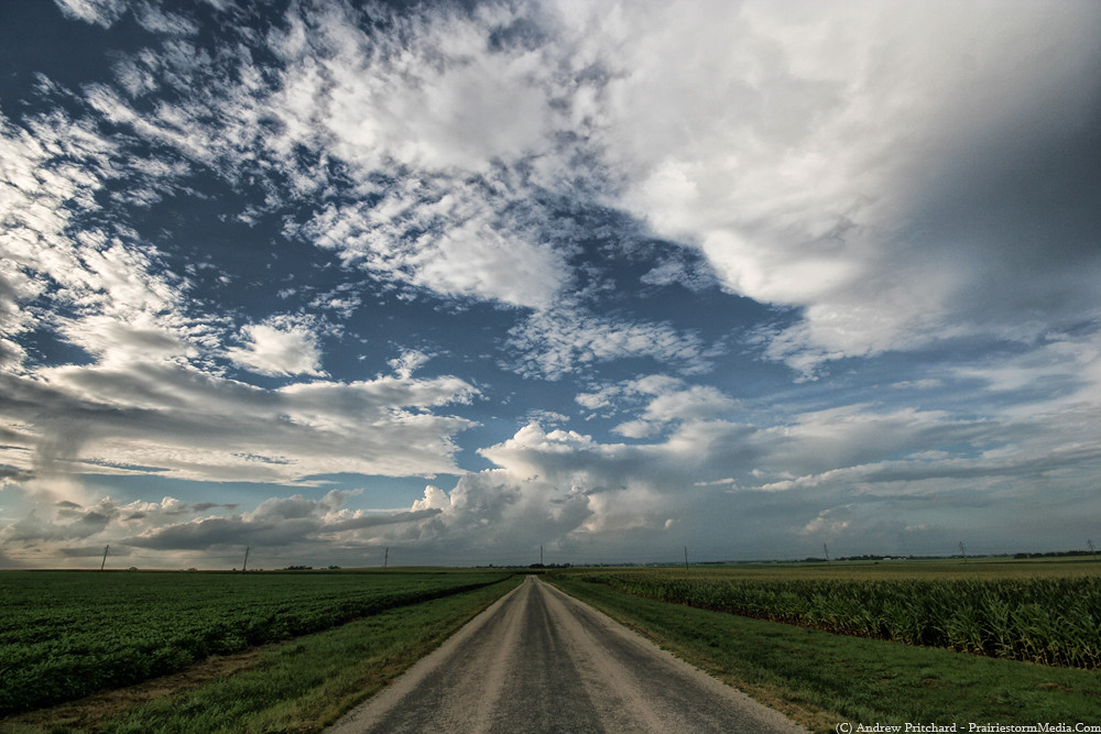
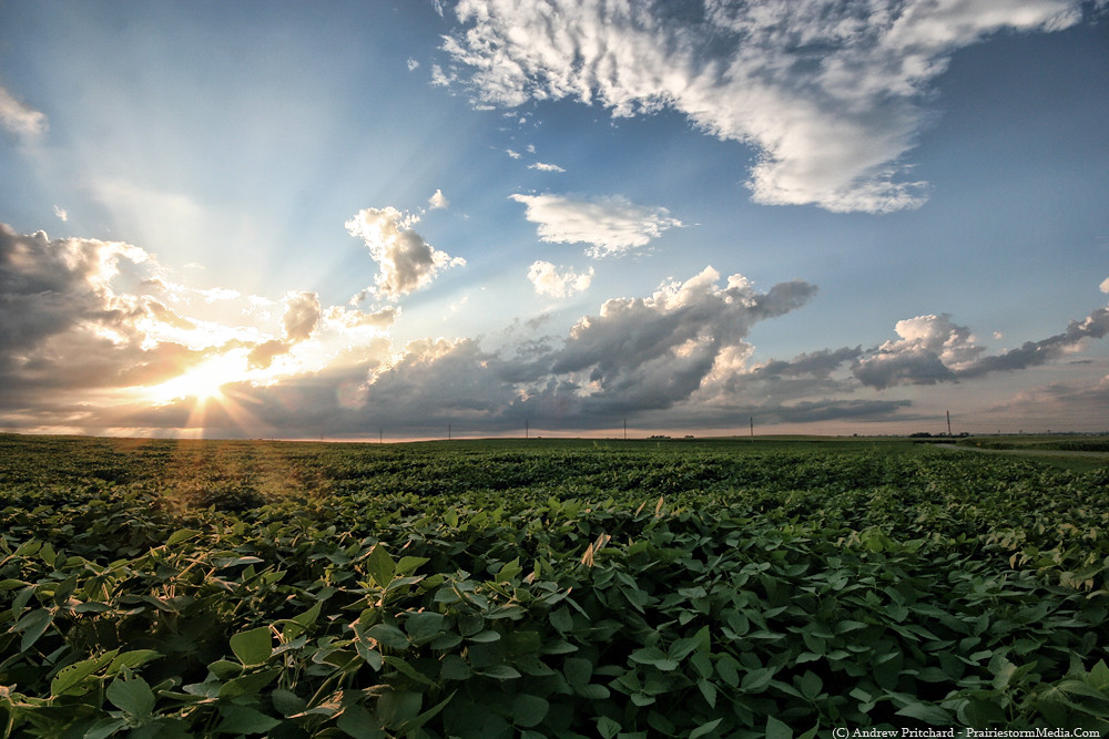
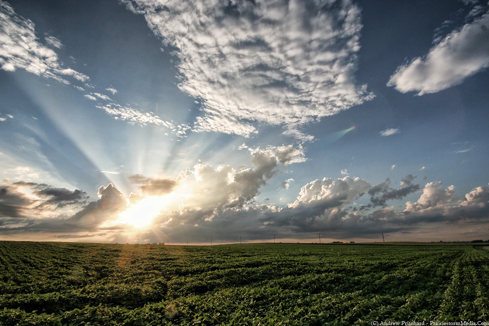
As for upcoming stuff, we do stand a chance at some thunderstorms in central Illinois today and tomorrow. I don't expect anything severe this evening, though at twilight with the more "dry" air in the area this evening some photogenic opportunities may lay ahead for those around the Interstate 72 corridor from Decatur to Danville, IL. A weak surface front is draped across the area with a meager wind shift line, accompanied by a again, weak upper level wave. However, with sufficient afternoon destabilization I expect this to be enough for a few storms to pop off in this area sometime around the dinner hour. Activity should diminish quickly around sunset, but may linger an hour or two long enough to get a couple twilight hour lightning photos if you're lucky enough to get a stronger cell in your area. I've got plans for a few hours this evening, but may try and sneak back out for some more time lapsing and sunset photography.
Sunday looks like the bigger severe potential day in central Illinois. Tornado potential is fairly low, but does exist. As per usual in the summer, early transition to a messy MCS is likely, so tornadoes will likely be few and be early. It remains to be seen how today and tonight's convection in Minnesota and Iowa will affect our play in Illinois tomorrow. One solution is an ongoing MCS that plows into central Illinois during the late morning, hopefully late enough to get some heating and enough juice here in eastern Illinois that re-intensification occurs and we get a decent bow echo out of the deal. Another solution shows things winding down overnight, leaving an MCV in western Illinois during the late morning. This would be the preferred solution as it would tend to lean more toward an isolated tornado potential early on in storm evolution.
As it stands, the best shot of severe weather Sunday afternoon will be generally east of Interstate 55 from the Chicago area to Springfield and then east into central and northern Indiana. Luckily, I'm home in Champaign right now for unrelated reasons, and should be in seemingly good position to let things materialize and come to me during the afternoon. Whether or not this means severe weather, or a convective wash out remains to be seen! I'll try to update again tonight or tomorrow morning once things become more clear, as hashing out details such as location, timing and storm mode are all near impossible at this point.


No comments:
Post a Comment