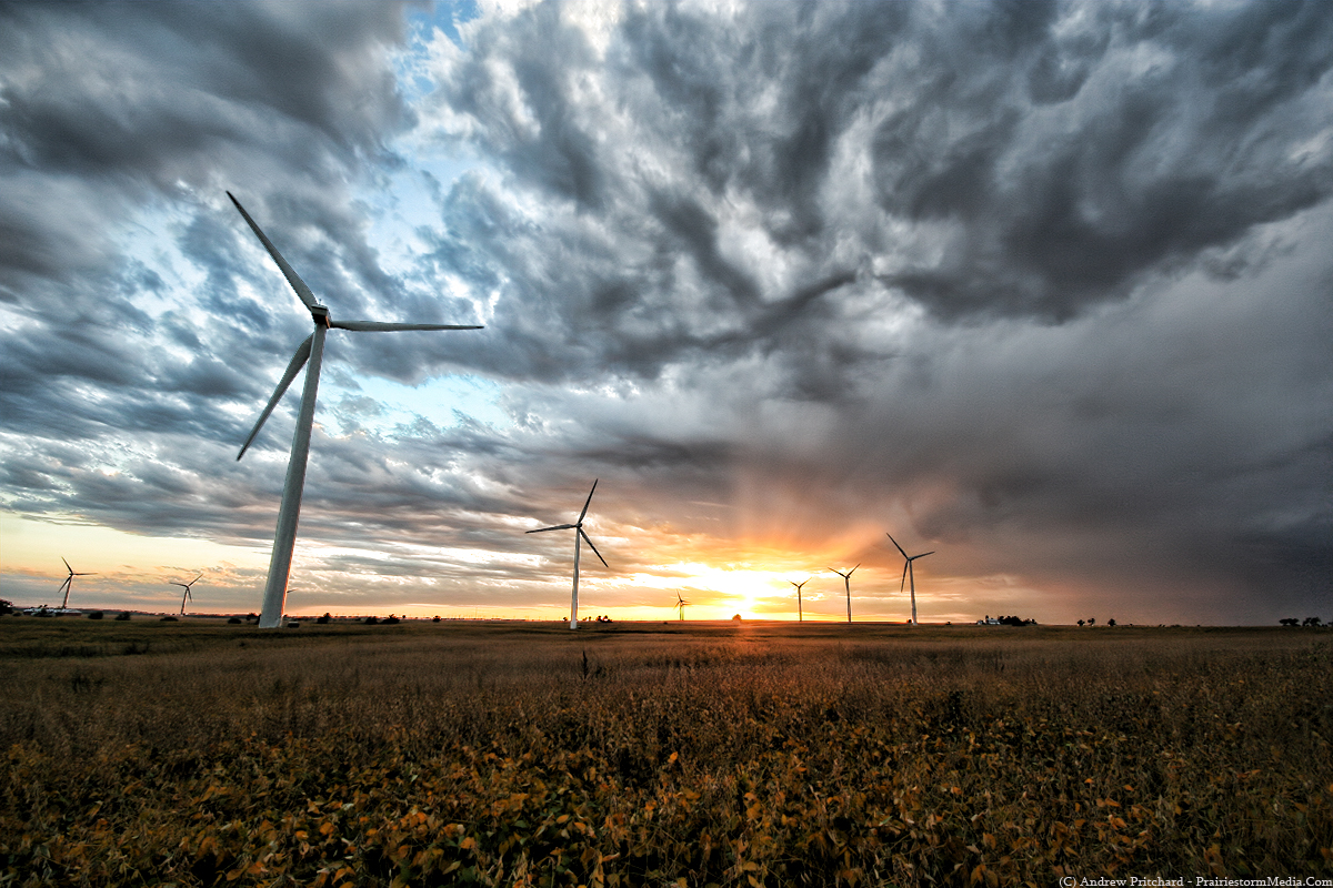
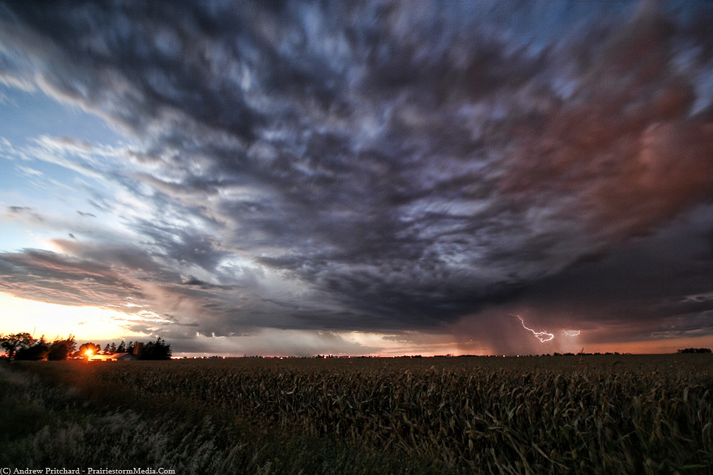
While traveling back to DeKalb this evening northbound on Interstate 39 I caught glimpse of a very distant storm that looked fairly substantial. Sure enough, warning text soon came across my phone for the storm that produced several 65-80 mph wind reports across Iowa and NW Illinois. The storm eventually did weaken somewhat, but was still spitting out anvil zits and inter-cloud lightning as it glided across DeKalb/Lee Counties. Sometimes that "always carry your camera on you" rule really pays off, and tonight would be one of those instances. Stopped just south of DeKalb and caught the follow shots as the elevated sub-severe storm fizzled away.
PrairieStormImagery.Com
Blog of Northern Illinois University Meteorology undergraduate and storm chaser Andrew Pritchard. Supplement to the PrairieStormImagery.Com site. Meteorological musings, and non-related discussion generally focused on the beautiful imagery the Earth's atmosphere provides.


1 comment:
Great work, man!
Post a Comment