
Two supercells exploded during the late afternoon in northern Missouri and immediately began producing tornadoes, but we held our ground for some time. Eventually it became apparent that northwest Illinois would not get the job done, and our only hope was to cross the border into Iowa. We held off for a long time, but it eventually was very clear that it was either cross into Iowa and likely get screwed over in some fashion, or get a grade A sun tan on the east side of the river.
The rest is history. The menacing tornado producing supercell immediately became a still menacing storm visually, but completely outflow driven and tornado production came to an end. Of course, this photo has little to do with that first storm. No... hope still lived on for the hopeful trio from Illinois. Another supercell had gone tornadic to our southwest. Fighting data issues we shot south in efforts to get ahead of the new supercell near Mount Pleasant. History repeats itself for what seems like the millionth time. The storm goes outflow dominant, and refuses to produce tornadoes any longer.
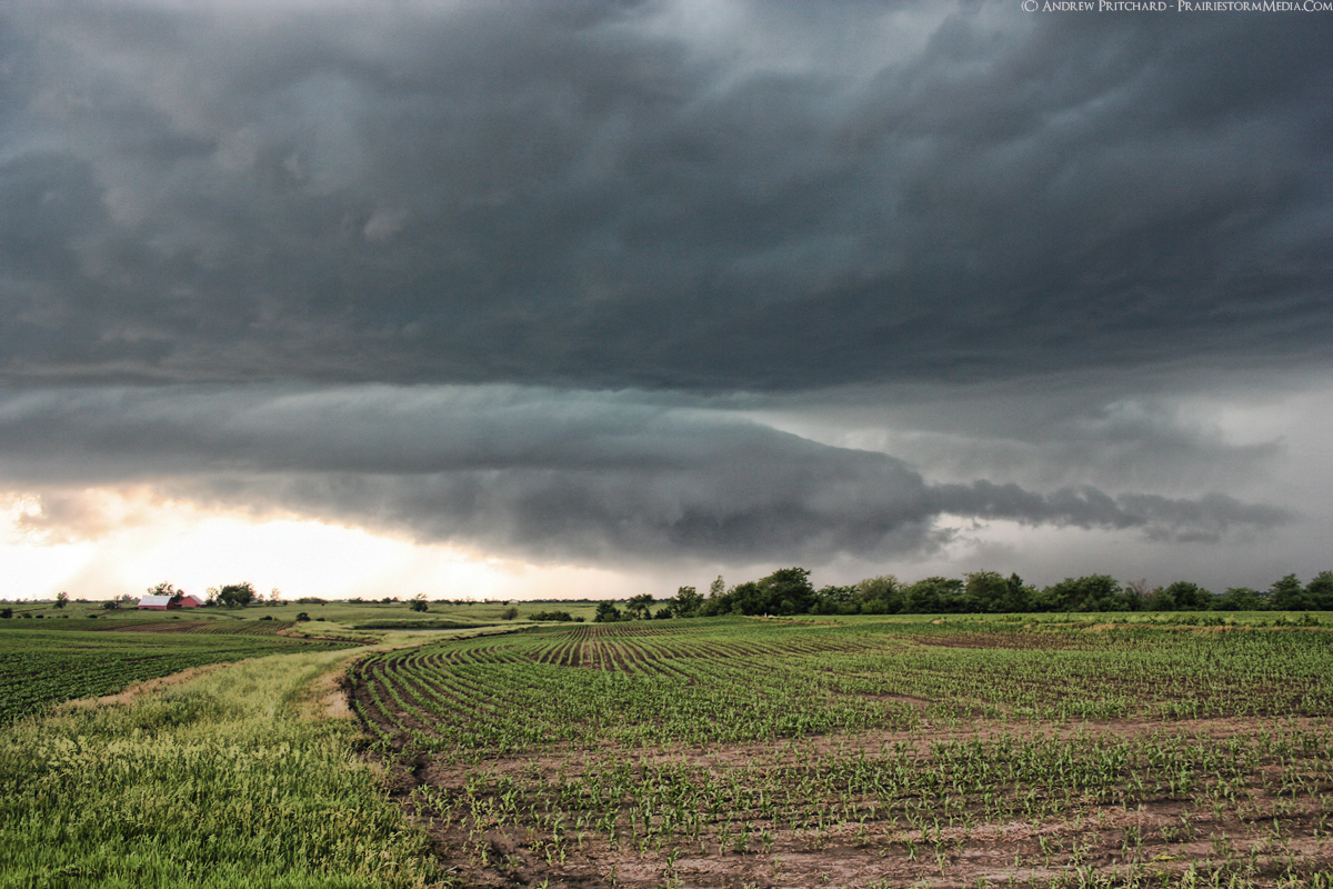
This photo shows the dying supercell as it nears Mount Pleasant, Iowa. We were treated to some cool outflow air and a pretty rainbow, before heading home with another serving of shattered dreams from the state of Iowa.


No comments:
Post a Comment